
Emporia ZIP Coverage at 66801
Official sources reviewed for Emporia identify 66801 as the city's USPS ZIP. A specific delivery address still needs USPS verification because ZIP+4 ranges and delivery boundaries can change independently of city or county lines. The single verified row below avoids turning a broader postal sorting group into false Emporia ZIP entries.
| ZIP Code | Areas Covered | Post Office | Notes |
|---|---|---|---|
| 66801 | Official USPS city and post-office ZIP for Emporia; exact delivery edge requires address lookup | Emporia Post Office, 625 Merchant Street | Office address is 66801-9998; use USPS for the destination ZIP+4 |
The USPS Emporia Post Office listing confirms the office, phone, services, and current hours.
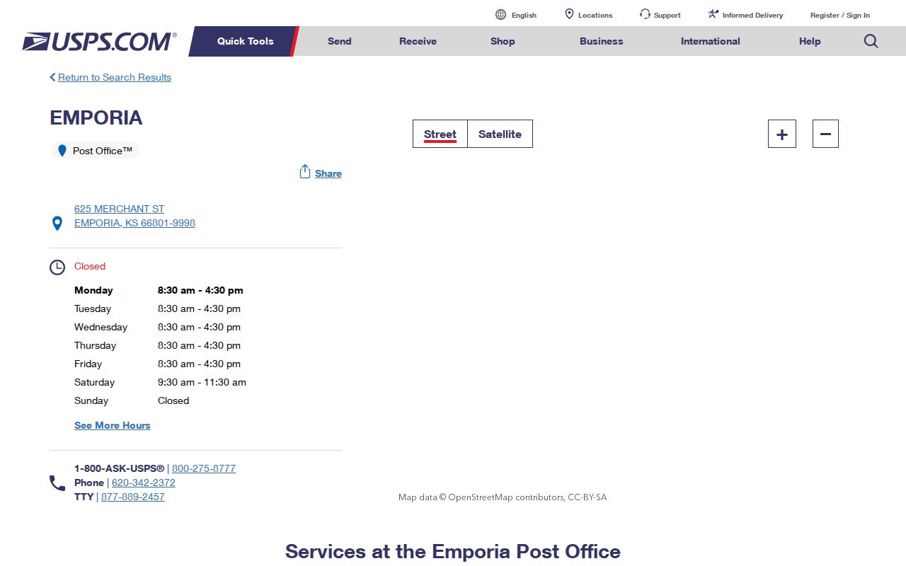
This source confirms the local postal anchor, but it does not display every delivery boundary or prove that each 66801 mailing address sits inside Emporia city limits.
Verify an Emporia ZIP First
Start with the official USPS ZIP Code Lookup. Search by street address when one is known. Preserve the standardized directional, street suffix, unit, city name, state, ZIP, and ZIP+4 exactly as returned. County and city systems may store a shortened form, so both versions can be useful.
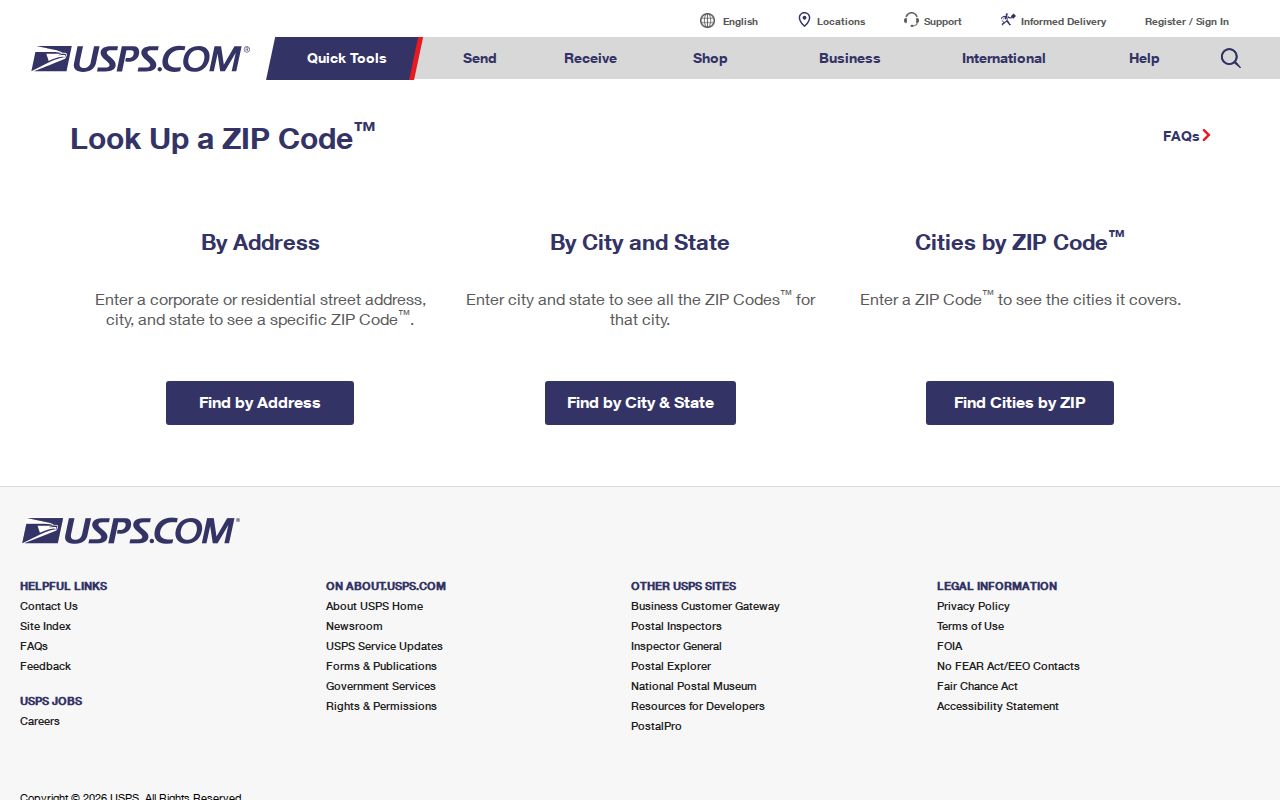
The lookup supplies the postal key for the next search. It does not identify the owner or resident.
The USPS AIS Viewer is another current address and ZIP verification route.
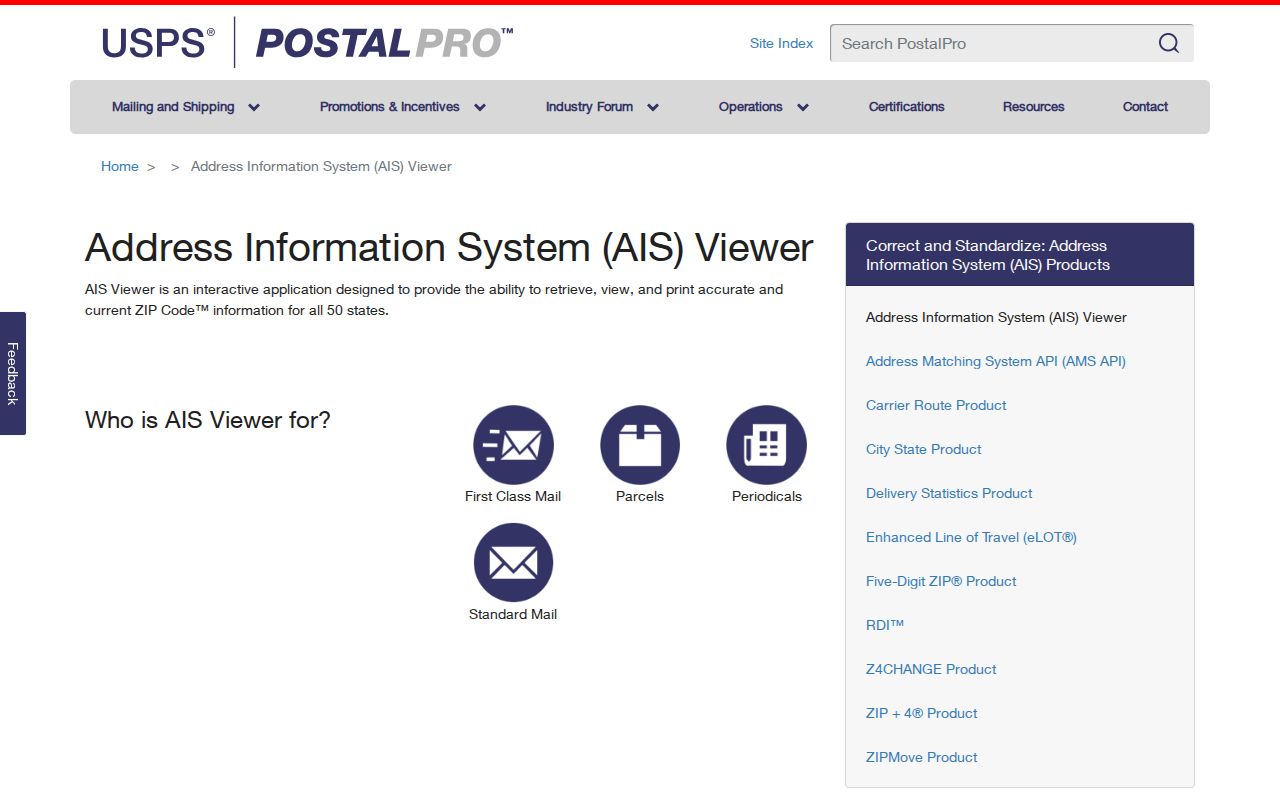
AIS supports address-quality work, while the county parcel and city GIS systems answer jurisdiction and land-record questions.
Do not drop a directional or suffix after validation. Emporia uses numbered avenues, named streets, rural road numbers, and subdivision additions. “Street,” “Avenue,” and a directional can lead to different search matches. If a county record omits ZIP+4, retain the USPS version beside the local form instead of replacing either one.
Emporia Postal Grouping Is Broader
USPS labeling material groups many 668xx codes under the EMPORIA KS 66801 destination line. That is a mail-processing or sectional-center grouping. It does not mean every grouped code lies inside Emporia, serves an Emporia household, or accepts Emporia as its postal city. The Emporia ZIP code directory therefore lists only the city ZIP verified by the official sources.
No official local ZIP split year, PO-box-only ZIP, unique institutional ZIP, per-ZIP population count, or voter total was found. Those gaps matter. Adding plausible-looking rows would turn postal context into false geography.
The broad destination list includes codes assigned to other towns and rural delivery areas across the region. Its purpose is routing mail toward a processing destination, not publishing the shape of Emporia. For the same reason, a postmark or destination line can support a dated mailing trail without proving that the sender stood within city limits.
Note: Verify rural and edge addresses one at a time rather than assigning them to Emporia from a 668xx prefix.
Find Emporia Residents by ZIP
Only some official portals accept a ZIP field. USPS validates the address. Kansas unclaimed property can narrow name results by ZIP, but that database is an old-property lead, not a current resident roll. VoterView has no public ZIP-wide filter, and its address form returns polling places rather than all registrants nearby. The captured county parcel form exposed city, neighborhood, tax, and property filters, but no reliable ZIP filter.
- Enter the full address in USPS and save the standardized 66801 address and ZIP+4.
- Search the parcel or map source with the street address, city, or map key rather than assuming a ZIP filter exists.
- Use Kansas unclaimed property by name, city, and ZIP only when looking for an old financial or heir lead.
- Use VoterView by name and birth date, or use its residential address form solely to identify polling locations.
Once 66801 has narrowed the search to a known road, the Emporia street directory explains the street-level parcel and deed sequence. That handoff is more precise than treating the whole ZIP as a resident list.
A state voter-file request also does not solve the ZIP problem automatically. The Kansas CVR form offers statewide, district, party, county, and advance-list selections with stated fees and use restrictions, but the reviewed form does not offer a simple Emporia ZIP extract. County books can be inspected under supervision with protected identifiers removed. Ask the Lyon County Election Office about a precise, lawful format instead of assuming a ZIP-wide download exists.
Emporia ZIP Search Fields
The portal comparison shows why a ZIP code directory needs source-specific steps. A ZIP field has meaning only when the custodian provides it and states what the result represents.
| Portal field | Result and limit |
|---|---|
| USPS address, city, state | Returns a standardized delivery address or ZIP; it is the postal authority. |
| Unclaimed property ZIP | Narrows name and property matches; it does not confirm current residence. |
| VoterView residential address | Returns polling places through a matched street key, not people by ZIP. |
| County GSA city or neighborhood | Parcel-oriented filters were visible, but the portal displayed data inconsistent with Kansas during research. |
The county map-book source can still help orient a parcel. The captured Lyon County map book screen appears below.
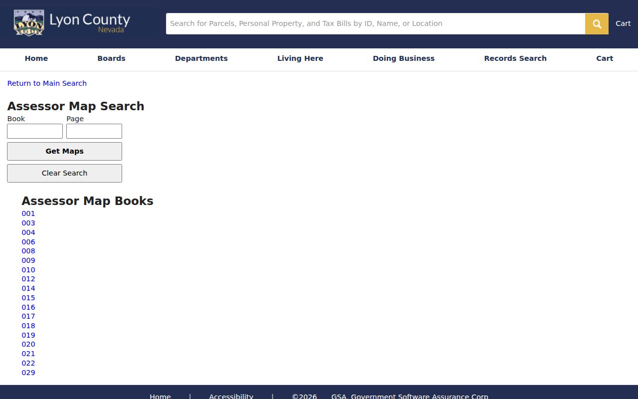
Because the portal showed inconsistent location data during inspection, confirm any map result with Lyon County GIS or the Appraiser before relying on it.
Four Emporia Address Keys
An Emporia address can appear four ways across public records. Keeping those forms apart prevents a mailing address from being mistaken for a home. It also lets an old lot description survive postal or street changes.
- Situs address
- The physical location of a parcel or building, used by maps, 911, and permits.
- Owner mailing address
- The destination for tax or deed notices; it may be a different city, state, or post-office box.
- Legal description
- The lot, block, addition, section, or other title key that controls in deeds and plats.
- Postal address
- The USPS delivery form, including postal city, ZIP code, and possible ZIP+4.
City GIS subdivision plats and survey ties can bridge a legal description to a modern map. The Register of Deeds instrument remains the title source, while GIS is a reference layer.
This distinction is useful at Emporia's edge. A tax notice may go to an owner far from Lyon County, while the situs remains within the local parcel map. A deed may omit the current postal form but retain the lot and block. Crosswalk all four keys before deciding that two records point to different places.
Emporia Addresses Beyond Parcels
Address-based research extends beyond ownership. Emporia Planning and Zoning handles land-use questions within the city and Metropolitan Planning Area. Its materials may connect an address with a proposed project, owner, applicant, legal description, plat, variance, floodplain issue, or adjacent-owner notice.
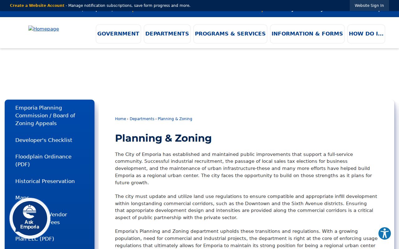
The planning source helps determine jurisdiction after USPS standardizes the address. It is not a ZIP-wide household roll.
The city's zoning applications and fees expose forms for annexation, subdivision, zoning, variance, floodplain, and address-related work.
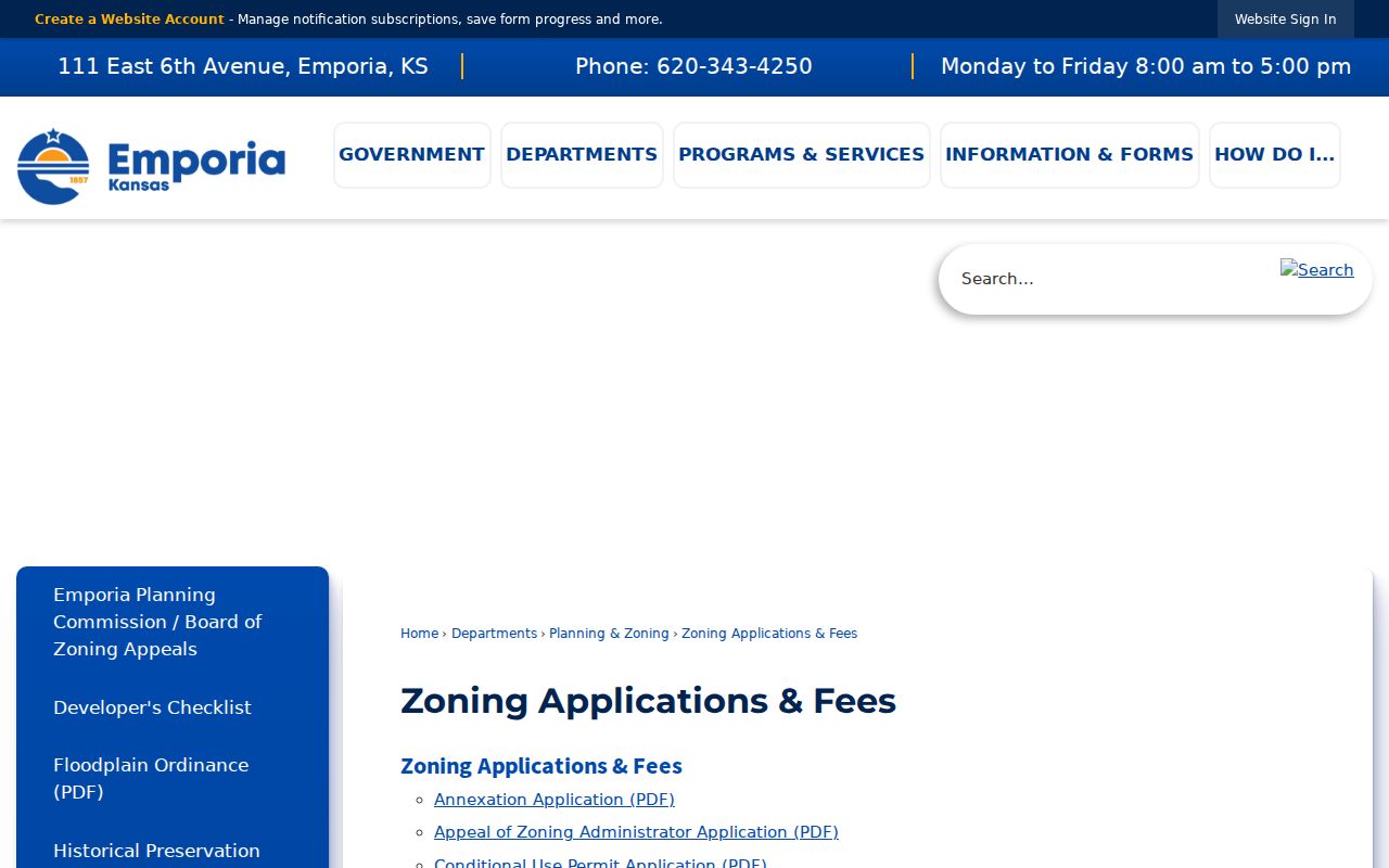
These forms can supply an address, named addition, applicant, and project date, which are better search keys than ZIP alone.
Emporia GIS also lists road centerlines, 911 address points, zoning, easements, utility layers, base maps, subdivision plats, and survey maps. Lyon County GIS adds roads, addresses, and parcels, but warns that digital data is maintained for tax purposes and is not a legal survey or conveyance. Use the map to locate the record, then use the filed plat or deed for legal proof.
Historic Emporia Records Need Streets
Old city directories are not modern ZIP tools. Search them by surname, street, house number, employer, or year. County-inclusive volumes may also include rural places that do not match today's city line. Reverse or criss-cross sections, when an edition has them, work from address to occupant. Check the edition rather than assuming the feature exists.
For a dated address, pair the directory with a census year, deed, plat, newspaper notice, or Sanborn map. That creates a timeline rooted in a street and legal parcel. Postal codes are useful for current delivery, but they should not be projected backward onto records created before the present ZIP system.
Emporia's original townsite and downtown grid add another reason to keep historic wording. An older entry may use a lot and block, an abbreviated street, or a building name. Search the exact form first, then try the current standardized address. The ZIP is a modern aid at the end of that crosswalk, not the starting key for nineteenth-century material.
Emporia ZIP and City Limits
Emporia's boundary grew through piecemeal annexation, while the postal city and ZIP serve delivery needs. Lyon County, the Emporia-Lyon County Metropolitan Planning Area, rural road networks, and subdivision additions form other layers. An Emporia mailing address may therefore fall outside the current city boundary. A recently annexed parcel may also retain older county descriptions in past records.
- ZIP vs ZIP+4
- A ZIP covers a delivery area; ZIP+4 narrows the destination to a smaller delivery segment.
- PO-box ZIP
- A code used for post-office boxes rather than normal street delivery. No separate Emporia example was verified.
- Unique ZIP
- A code assigned to one high-volume institution. No Emporia unique code was located in the official sources reviewed.
- Carrier route
- A postal delivery sequence within a ZIP, not a city ward or parcel boundary.
Boundary check. Use USPS for delivery, city or county GIS for jurisdiction, and the deed or plat for legal identity.
Do not infer residents from a ZIP-wide voter list. VoterView does not provide one, protected addresses may be concealed, and Kansas list-access rules control copies. The safe approach is a defined name or address search with a lawful personal purpose.