
Emporia Neighbor Records by Block
Public sources describe pieces of an Emporia block. Lyon County GIS supplies parcel, road, address, plat, and boundary context. The Appraiser route may identify a current owner. City planning files can show notices or applications tied to a site. VoterView confirms one voter when the required personal details are known, while historical directories and Sanborn maps help with earlier blocks.
| Source | What It Shows About a Block | Access |
|---|---|---|
| Lyon County GIS | Parcel polygons, roads, addresses, plats, boundaries | Public layer page; data requests for more |
| Appraiser and Beacon route | Current parcel owner and property details if shown | County link; live viewer was blocked in research |
| Subdivision plats | Lots, blocks, streets, alleys, and easements | Public PDFs; verify the recorded copy |
| VoterView and CVR | Individual registration or paid file selections | Name and birth date; legal restrictions apply |
| City notices and records | Planning, permit, code, or public-works context | Published notices or a focused KORA request |
| Civic organizations | Mission, events, and public contacts, not residents | Organization and city websites |
An owner record proves a recorded interest on a given date. It does not prove that the owner lives there or identify all residents. A mailing address may differ from the parcel's situs, or physical, address. Private member lists, utility accounts, visitors, and unlisted people fall outside this public chain.
Map Emporia Neighbors Parcel by Parcel
The Lyon County GIS page confirms property ownership, land use, roads, administrative boundaries, digital plats, and address layers. It warns that map data is kept for tax purposes and is not a legal survey or conveyance. Beacon's live controls were blocked during research, so do not promise a buffer button, owner pop-up, or export that was not verified.
- Normalize the subject address, including direction, suffix, unit, city, and ZIP.
- Locate its parcel polygon and record the parcel ID, plat, and street labels.
- Identify each polygon that touches it, one at a time. Save the source date.
- Check each parcel record separately and distinguish situs from owner mailing address.
- Use the recorded plat or deed when map boundaries matter to the question.
The result is a set of adjacent parcels, not a roster of Emporia neighbors. Check each source date and retain the map disclaimer with saved notes. For a full named street rather than the immediate block, use the Emporia street directory workflow.
Emporia Neighbors United
Emporia Neighbors United describes a grassroots civic group concerned with transparency, fair representation, schools, responsible development, strong neighborhoods, and resident voice. Its site offers mission and involvement information. Researchers found no public member directory or street-by-street roster.
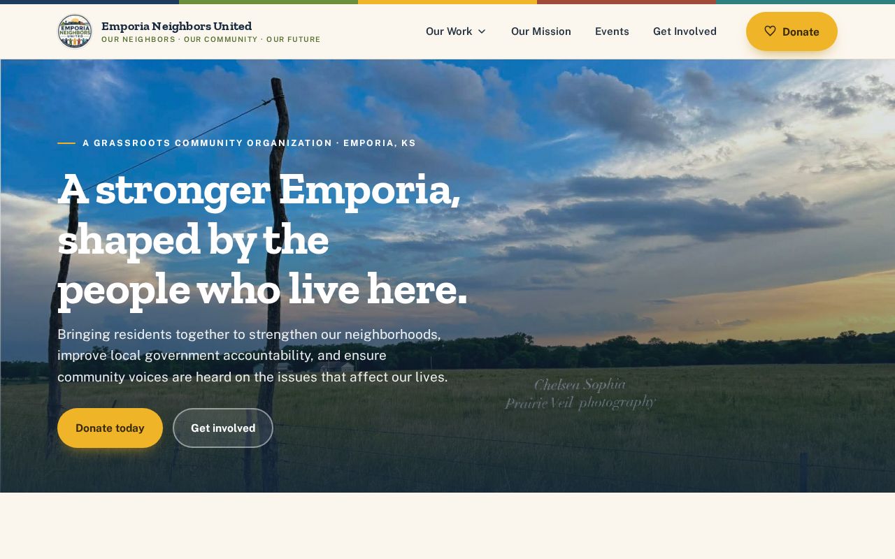
The organization is a current contact layer, not evidence that a named person belongs to it. Ask about public events or ways to take part. Do not use parcel ownership to reconstruct membership.
Emporia Boards Connect the Block
The city's Boards and Commissions page links residents to bodies such as the Planning Commission and Board of Zoning Appeals, Human Relations Commission, Joint Traffic Safety Committee, Library Board, Recreation Commission, Land Bank, and other community groups.
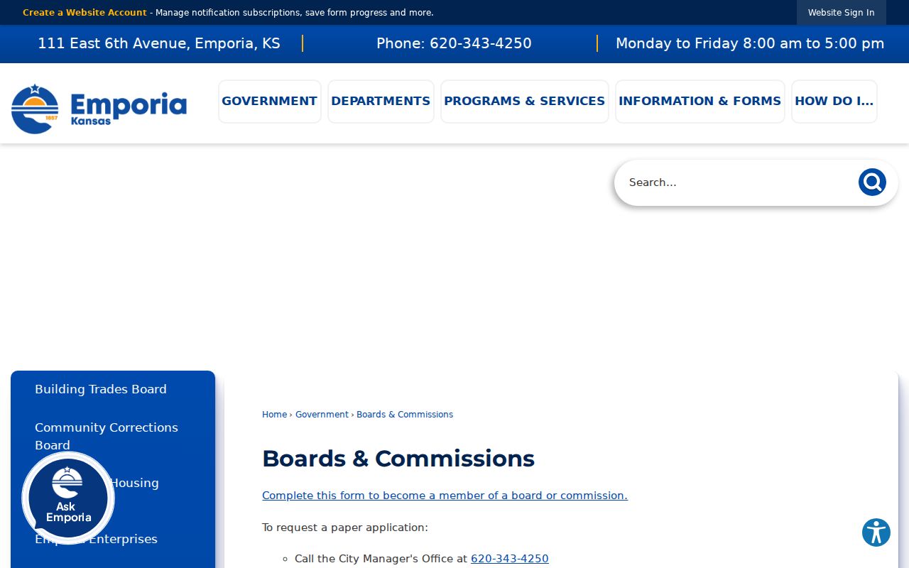
Board pages and public files can show time-bound civic service and meeting contacts. They are not neighborhood household rolls. A 2001 commission item mentioned an east-side association, but the research did not establish a current name or contact, so it should be treated only as historical evidence.
Emporia Neighbors United
Current civic mission and involvement information. No public member roster was located.
City Boards
Public board names, members, agendas, and meeting records tied to city government.
City Staff
The official directory and Ask City Staff route help send a block question to the right office.
Emporia Notices Add Site Context
The city publishes Emporia public notices for matters that may affect a site or area. Planning and zoning applications can contain an address, legal description, applicant or owner, project facts, and an owner-notification area. No complete public permit index by address was found.
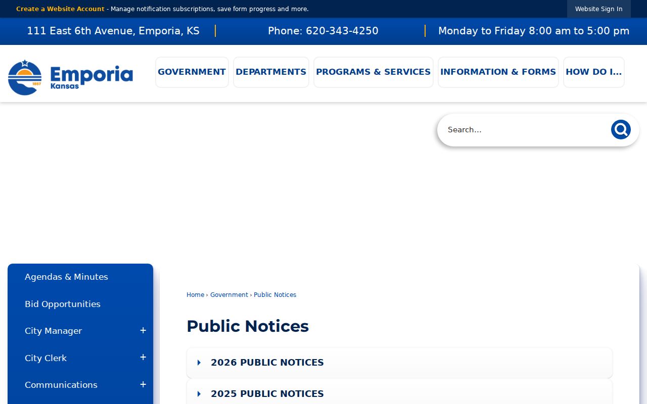
Search a known address or legal description in published files first. If the item is absent, submit a clear KORA request for an existing permit, code, planning, or public-works record. Kansas agencies generally respond within three business days by producing records, explaining delay, or denying with a legal basis. They need not create a new neighbor list.
Emporia Meeting Records Show Decisions
The Emporia commission minutes and agendas archive provides a dated civic trail. Search a street, subdivision, project name, board, or nearby landmark. A resident's name in public comment proves participation at that meeting, not residence on the block.
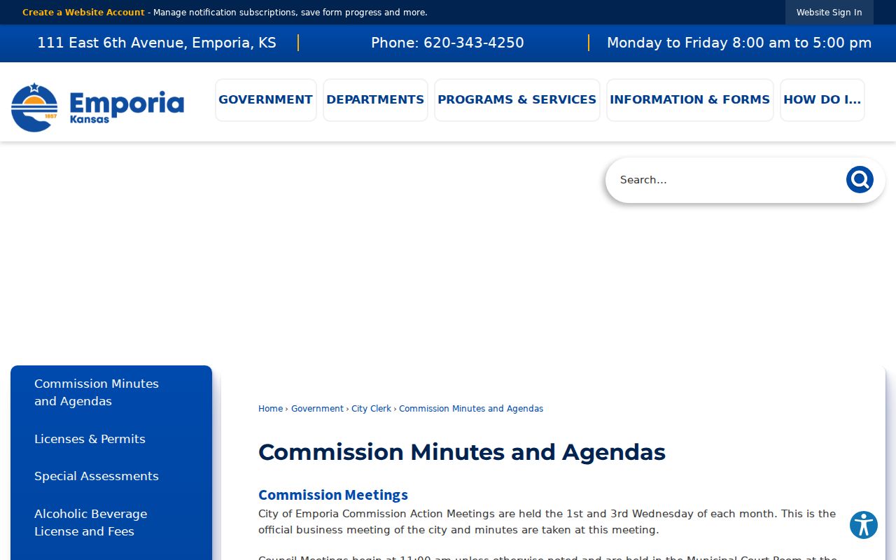
Minutes are most useful when a map shows a parcel but the question concerns a public decision, rezoning, traffic issue, or development. Pair the meeting date with the notice and application rather than assuming that every nearby owner attended.
Emporia Voter Tools Are Not Block Lists
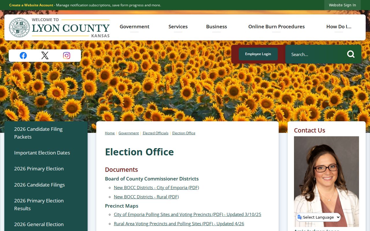
The Lyon County Election Office links precinct resources and Kansas VoterView. VoterView asks for a person's first name, last name, and date of birth, or an address for polling-place information. It does not display a public block list.
A statewide voter file may be requested through the separate CVR form with fees, selections, delivery options, and use certification. Identifying numbers are removed. Kansas also permits residence-address concealment in qualifying cases, and Safe at Home provides a substitute address for eligible victims. A missing physical address can reflect lawful protection.
Emporia Neighbors in Planning Records
City planning files can describe a block when parcel ownership alone is not enough. Emporia publishes forms for annexation, subdivisions, lot splits, rezoning, conditional uses, variances, floodplain work, and street, alley, or easement vacations. A final subdivision application may identify an applicant or owner, approximate location, legal description, lot count, and whether the land lies in the city or Metropolitan Planning Area. Adjacent-owner notice can show who received notice for that specific case, but it is not a standing directory of Emporia neighbors.
Start with the Emporia Planning and Zoning office when a sign, hearing notice, new plat, or land-use change affects the block. Search public notices, commission agendas, and meeting minutes by the address, subdivision, applicant name, or case date. If the record is not posted, give the City Clerk a narrow description under the Kansas Open Records Act. The city may provide the record, seek clarification, quote costs, state a delay, or cite a legal basis for withholding material.
Planning evidence is time-bound. A named applicant may be an engineer, agent, or prior owner. An adjacent-owner list reflects notice rules and the ownership roll used when the notice was prepared. Verify each parcel against the current Appraiser record before using the names as present block context.
Emporia Civic Records Add Context
Commission minutes, agendas, public notices, and boards records can connect an Emporia resident to a dated civic role or a block issue. They may identify an appointed member, speaker, petitioner, applicant, or official action. They do not reveal everyone nearby. The City Clerk's archive supports keyword and date searches, while current boards and commission pages provide the most recent public rosters and meeting files.
Use those records to understand a public issue, then confirm names and dates in the original meeting file. Do not infer private group membership or a household relationship from attendance, a mailing address, or a single signature.
Compare Emporia Neighbor Sources
Official records and commercial neighbor tools answer different questions. Use a dated official record when accuracy and source context matter. A commercial compilation may blend old filings, contact data, and other inputs without showing when a fact changed. Never treat either category as a live household census.
| Route | Strength | Main Limit |
|---|---|---|
| GIS and parcel roll | Parcel-specific and tied to county data | Owner is not proof of occupancy |
| Planning and meeting records | Dated public action and site context | Names reflect a role, not all neighbors |
| Voter tools | Official registration confirmation | No open block display; protected addresses |
| Commercial category | May gather several sources | Stale links, unclear dates, and recurring records |
Verify a useful lead at the custodian. Removing an item from a commercial service does not remove the deed, voter entry, court file, or newspaper source from which it may have come.
Privacy Limits for Emporia Neighbors
Public maps do not show every person in a home. Household members who hold no title, visitors, private utility customers, protected voters, and unlisted telephone users remain outside the official parcel chain. Geographic adjacency does not prove a family link, shared service, friendship, or group membership. Organization mailing lists and private rosters are not public merely because the group works in Emporia.
KORA reaches records held by public agencies, subject to exemptions. It does not create a right to a new resident compilation or a private database. Kansas law also restricts using public name-and-address lists to sell or offer property or services. Keep a narrow, lawful purpose and respect anyone who asks not to be contacted.
Lawful use. Learn about the block, civic issues, or a public record. Never use neighbor information to watch, threaten, harass, or intimidate anyone.